A closer look at what the data shows
Aligning with trends identified in previous research, the fire weather data show that climate change will increase the frequency and severity of fire weather across Canada. Notably, the data indicates a greater than 25% increase in the intensity of locally “high” fire weather[1] conditions for most regions of Canada by end of century under the high emissions scenario (RCP8.5). The data also indicates that fire seasons are likely to get longer, and the frequency of very high fire weather conditions is likely to grow as temperatures increase.
Importantly, these data only show changes in fire weather. Other factors that combine to determine the pattern, frequency and intensity of wildfires in a region, including available fuel, land-use type, and ignition sources, are not captured by these data. A large city in southern Canada outside of a forested area may register high fire weather values; however, the large amount of cement and buildings and the sparsity of trees mean these locations are unlikely to be engulfed by wildfire.
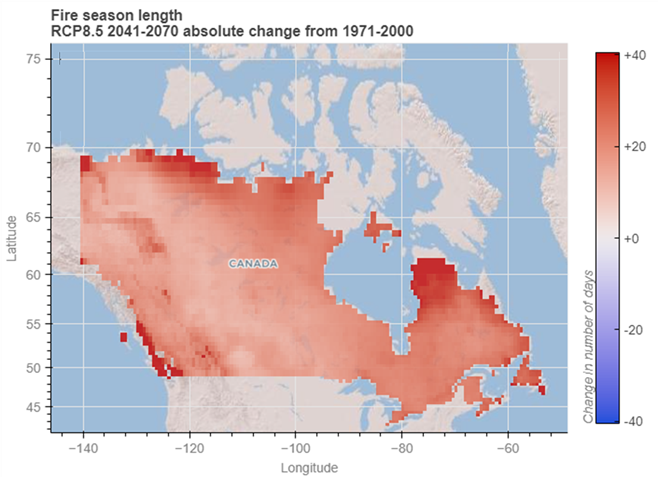
Below is an example of what the application can display. This map shows the absolute change in projected fire season length in Canada for the 30-year period 2041-2070, compared to the average fire season length for the baseline period 1971-2000, in a high emissions scenario (RCP8.5). Read more about emissions scenarios here: Emissions Scenarios: RCPs — ClimateData.ca.
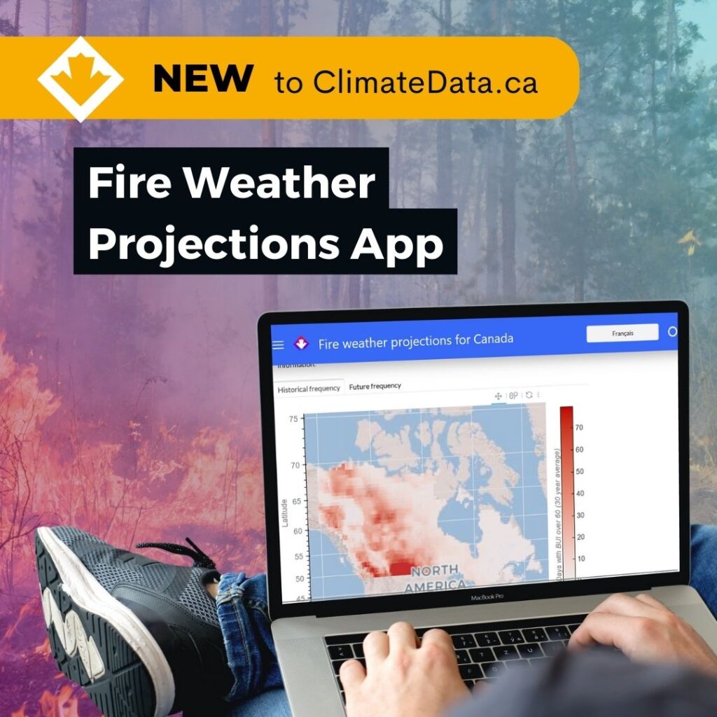
Engaging users in development
The development of these fire weather projections was greatly enhanced through two rounds of user engagement, involving wildfire experts and general practitioners from provinces and territories across Canada. Feedback on the application was obtained through preliminary interviews, user product testing, and workshops. This feedback ensured that the application meets the needs of its users in wildfire management through to municipal planning.
Preparing for a future with more wildfires
With over 18 million hectares affected by wildfires in 2023—nearly nine times the annual average since 1990—the need for advanced planning tools has never been more urgent. Wildfires have played an important role in shaping Canada’s ecology, influenced by both natural cycles and Indigenous stewardship practices. A concern moving forward is that changes to the natural fire regime caused by climate change may put a greater strain on ecosystems, communities, and firefighting resources. Large, uncontrolled wildfires can not only cause devastation to communities, but can have far-reaching effects on water and air quality, economies, culture, and mental health.
“As Canada continues to experience warmer climates, the danger of wildfires will change. The Fire Weather Projections on ClimateData.ca provide one important source of information to help Canadians prepare” says Dr. Fyke
Addressing limitations and future plans
The fire weather data presented in the application are based on a single model large ensemble, meaning not all sources of uncertainty are captured by these data. Future enhancements to this application could include multi-model analyses to better capture the range of potential future conditions.
Users are encouraged to visit ClimateData.ca’s Learning Zone as well as the guidance material on the application to learn more about considerations when using fire weather data.
Stay tuned for our next article on the fire weather projections app, which will take users through a detailed step-by-step tutorial of the app’s Quick Start section.
About ClimateData.ca
ClimateData.ca is a leading resource for climate science and adaptation resources in Canada. Committed to providing the most accurate and actionable climate data, ClimateData.ca supports Canadians in adapting to climate variability and change.