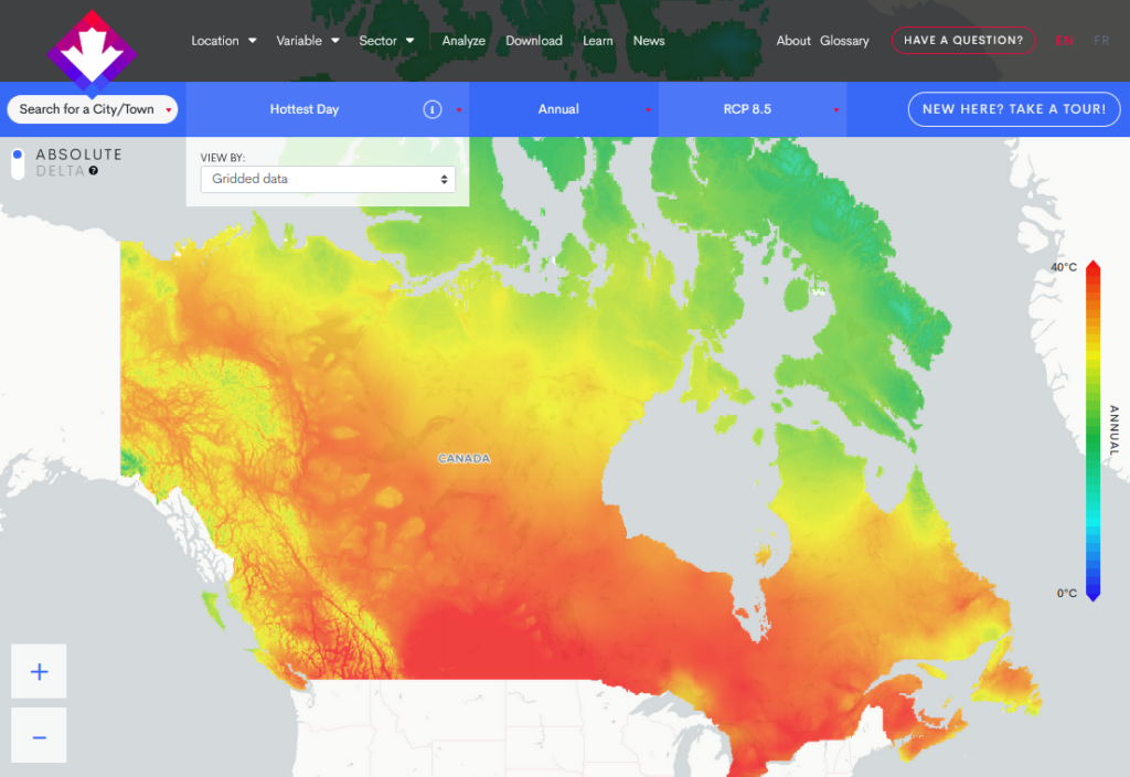
To start finding solutions to these challenges, a thorough understanding of the changing climate is required. This is why websites like ClimateData.ca are published. With ClimateData.ca, Canadians can view, analyze, and download climate change data at a high resolution of 10 x 6 km for the entire country.
Climate parameters particularly relevant to road builders include freeze-thaw cycles, indicators of extreme precipitation (e.g., Maximum 1-Day or 5-Day Precipitation, Wet Days > 20 mm), and indicators of extreme heat (e.g., Hottest Day, Days with Tmax > 32oC). All of these parameters, and more, can be accessed on the Variable page of ClimateData.ca. Users can also set custom thresholds for a variety of different climate parameters on the Analyze page.
Of course, you need more than climate data to determine how to build a road that is better adapted for climate change. For inspiration on next steps and lessons learned, users can also visit ClimateData.ca’s Transportation Module. The module offers a diverse set of case studies and additional resources tailored to engineers, planners, and other members of the transportation sector. The case studies provide examples of actions already taken to incorporate climate data into decision-making in different parts of Canada. Additional resources and links to support design decisions are also linked in the module.


